↓
JAVASCRIPT IS DISABLED. Please enable JavaScript on your browser to best view this site.
Sacramento Land Surveying
Search for:
Local Land Surveyors in Sacramento, CA
Sacramento Land Surveying
Home
ALTA Survey
Boundary Surveying
Construction Survey
Drone LiDAR Mapping
Elevation Certificate
Land Surveying
Topographic Survey
Contact Us
Home
→
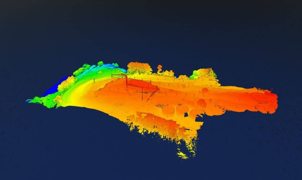
Drone LiDAR Mapping
→
ROliDAR
Image navigation
← Previous
Next →
ROliDAR
Published
March 1, 2025
at
1024 × 610
in
Drone LiDAR Mapping
Image navigation
← Previous
Next →
↑